
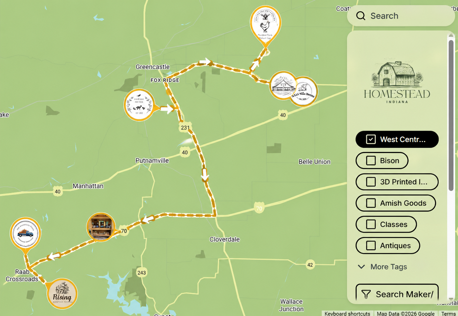
Trail Navigation Note
Farmstand Trails on the Homestead Indiana Map are designed to help you discover participating locations, but they do not create a complete turn-by-turn GPS route of all locations on a trail. Travelers choose their own route based on where they’d like to begin and end their journey.
Each map pin includes a quick "Directions" button that opens GPS navigation directly to that stand. To create the best experience, choose a starting location, enjoy your stop, then use the location icon to view nearby stands and select your next destination. Simply tap each map pin as you travel to build the route that works best for you.
Best practice: Start at your chosen first stop → shop & explore → select the next closest stand → repeat your adventure!
Create A Farmstand Trail
WHY CREATE A TRAIL?
Encourage shoppers to visit multiple stands
Bring communities together
Help nearby stands support one another
Create a memorable local experience
STEP 1
Build Your Lineup
Gather local farmstands in your area and create your trail route. Pick a theme, season, county, or event idea.
Examples:
Pumpkin Trail • Porch Bakery Trail • Flower Trail • Farm Fresh Weekend • Christmas Cookie Trail
STEP 2
Submit a Trail Request
Fill out the Farmstand Trail request form below.
Include:
✔ Trail name
✔ Participating farmstands
✔ Dates (if applicable)
✔ Theme/details
STEP 3
We Handle the Tagging
Homestead Indiana will create your custom Farmstand Trail event tag and add it to all participating locations on the map.
Shoppers can then filter by your trail tag and easily find every stop.